

 |
Supplementary images not incuded in the book can be found here and animations with voice over can be found in the Multimedia section.  FIGURE 6. 
Detail from the folding map of the Giza Plateau drawn up by John S. Perring, appearing opposite page 1 of Volume I of Howard Vyse, Operations Carried on at the Pyramids of Gizeh in 1837, London 1840, 3 vols. The Osiris Shaft is labelled ‘Shaft No. 1’ on this map, near the centre of the plan shown here. The Sphinx is shown at the top, both temples in front of it being unknown at that time and still covered in sand. The Chephren Causeway, which runs over the top of the Osiris Shaft, was also covered in sand and was unknown at this time except for the point where it crosses the Osiris Shaft. The ruins marked ‘temple’ just above the ‘Second Pyramid’ (the Pyramid of Chephren) is the Funerary Temple of Chephren. This map of 1837 is not only the earliest plan showing the location of the Osiris Shaft, it is the only one. FIGURE 6. Supplementary. 
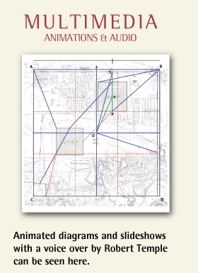
FIGURE 6. Supplementary This is the folding map of the Giza Plateau drawn up by John S. Perring, appearing opposite page 1 of Volume I of Howard Vyse, Operations Carried on at the Pyramids of Gizeh in 1837, London 1840, 3 vols. combined with a vesica piscis by the Coptic Church of Egypt. |


.jpg)
.jpg)
.jpg)
.jpg)
.jpg)
.jpg)
.jpg)
.jpg)
.jpg)
.jpg)
.jpg)
.jpg)
.jpg)
.jpg)
